Start with function
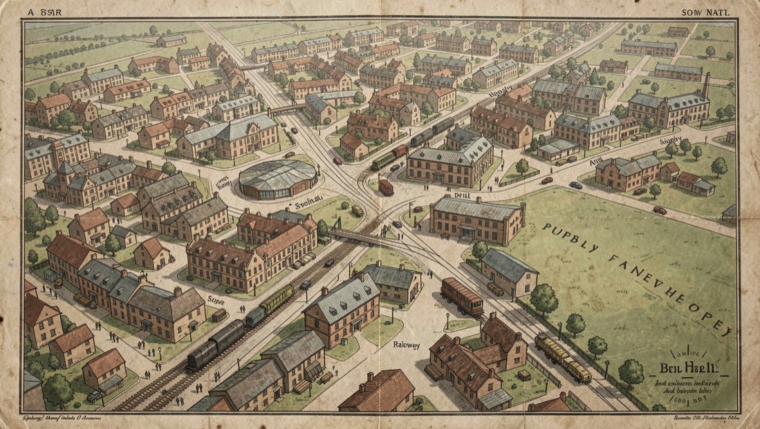
A hospital needed transport, water and quiet. A drill hall needed assembly space and a route to the railway. Asking what a building had to do makes map symbols meaningful.
Compare editions across ten years. New sheds, widened gates or tramway spurs often mark wartime adaptation.
Plans and photographs
Insurance plans show materials and internal use. Street photographs verify signage, entrances and the presence of vehicles.
Uncertainty
A labelled site may be proposed rather than opened. Always check minutes, invoices or photographs before treating a location as active.
Where to look next
The mill hospital study gives one example, and newspaper criticism explains how place names entered print. Learning a city street by street, this time during a stay of several weeks, is described in a city learned street by street.